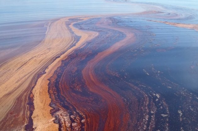
A detailed analysis of the environmental disaster - an oil spill in
the Black Sea off the coast of Crimea. The study includes determining
the area of contamination, monitoring the spread of the oil slick, and
assessing the impact on the marine ecosystem.
In this project, we examine the consequences of an oil spill in the
Black Sea, near Crimea. Using Synthetic Aperture Radar (SAR) satellite
images, it is possible to track how the oil slick spread across the
sea surface, altered the water’s reflective properties, and impacted
coastal areas. SAR images allow us to see what remains hidden from
conventional optical satellites: the structure of waves, contaminated
areas, and their dynamics. This enables the analysis of the sea’s
condition at different times of the year and allows comparisons of the
situation before and after the accident.
Satellite image analysis
• Winter: The ocean is usually darker (fewer waves, smooth surface →
weak reflection). If there is ice or snow along the coast, bright
areas appear. • Spring: More waves appear, ice melts → areas
with waves become brighter, smooth water appears darker.
• Summer: Wind is stronger → waves increase → brighter areas on the
ocean surface. Small currents can create contrasting light and dark
streaks. • Autumn: The sea is often calmer → contrast
decreases, the ocean may appear medium-dark, with isolated bright
spots of waves and currents.
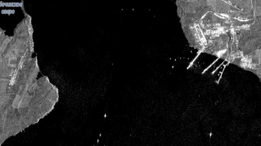
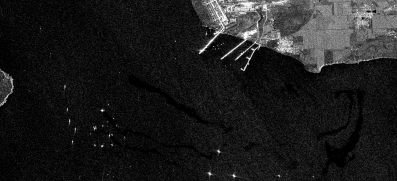
Before/After the Disaster Comparison
Before
After
Before – the water surface is uniform, without any unusual dark spots.
Normal seasonal variations in brightness are visible, related to waves
and weather conditions. After– SAR images show large dark areas that
differ from the usual sea surface. They are elongated in shape and
change with currents and wind, moving toward the coast. In some cases,
the oil slick reaches the shore, affecting the coastal ecosystem.
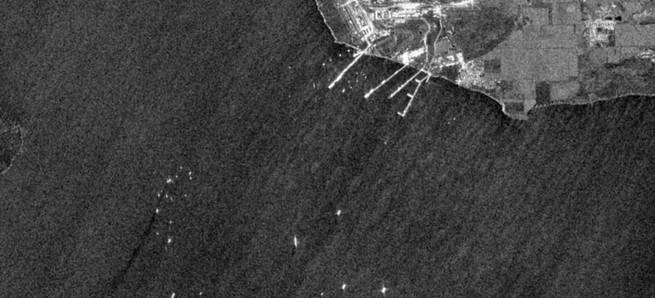
Now
At present, the sea appears relatively clean: there are no extensive
dark areas typical of fresh oil spills. SAR imagery shows the natural
background of the sea surface — with ripples, currents, and individual
bright objects (ships). This confirms that large-scale pollution
related to the accident is no longer detected